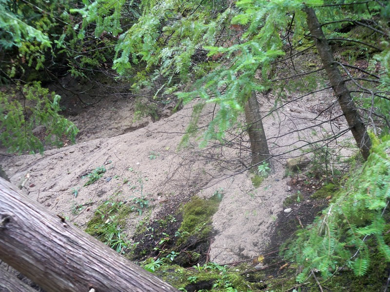
Stream Bank Erosion Site RIF_043
Total Severity: Moderate
Total Points: 35
Information collected by:
Rifle River Watershed,
Rifle River Main Branch
Mills Twp,
Ogemaw County
GPS Coordinates: 44.243828
, -84.064518
T21N
R3E
Sec 4
Owned by Private
Bank Details
Which Bank? Left
Bank Aspect:NW
Condition:Toe and upper bank are eroding
Erosion Trend:Increasing
Percent Veg. Cover: 11-50%
Bank Conditions
Stream Width:25 ft.
Stream Depth:25 ft.
Stream Current:Fast
Eroded Bank Length:125 ft.
Eroded Bank Height:15 ft.
Slope of Eroded Bank:2:1
Texture: Sand
Cause(s) of Erosion
Recommended Treatment(s)
Other Treatments:Repaired
General Information
Other Location info:Downstream high banks Other Bank info:Gullying
Total Points
35
�