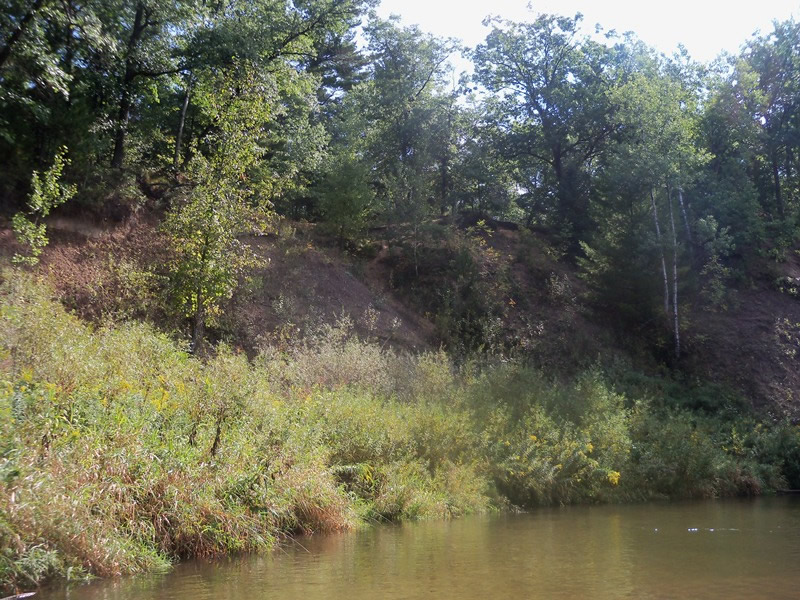
Stream Bank Erosion Site RIF_046
Total Severity: Minor
Total Points: 29
Information collected by:
Rifle River Watershed,
Rifle River Main Branch
Mills Twp,
Ogemaw County
GPS Coordinates: 44.14155
, -84.04028
T21N
R3E
Sec 4
Owned by Private
Bank Details
Which Bank? Left
Bank Aspect:SW
Condition:Toe is stable; upper bank eroding
Erosion Trend:Decreasing (Annuals Growing)
Percent Veg. Cover: 51-100%
Bank Conditions
Stream Width:25 ft.
Stream Depth:25 ft.
Stream Current:Slow
Eroded Bank Length:150 ft.
Eroded Bank Height:35 ft.
Slope of Eroded Bank:1:1
Texture: Sand
Cause(s) of Erosion
-Bend in river
Recommended Treatment(s)
-Rock riprap
-Tree revetments
Other Treatments:Some trees have fallen in, but added brush is needed
General Information
Other Bank info:Toe vegetated/upperbank eroded
Total Points
29
�