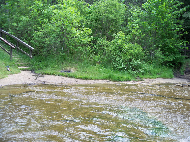
Stream Bank Erosion Site RIF_053A
Total Severity: Minor
Total Points: 24
Information collected by:
Rifle River Watershed,
Rifle River Main Branch
Mills Twp,
Ogemaw County
GPS Coordinates: 44.22018
, -84.06849
T21N
R3E
Site Access:Accessible by road
Bank Details
Which Bank? Left
Bank Aspect:W
Condition:Toe is stable; upper bank eroding
Erosion Trend:Increasing
Percent Veg. Cover: 11-50%
Bank Conditions
Stream Width:100 ft.
Stream Depth:2 ft.
Stream Current:Fast
Eroded Bank Length:30 ft.
Eroded Bank Height:6 ft.
Slope of Eroded Bank:4:1 or flatter
Texture: Sand
Clay
Clay
Cause(s) of Erosion
-Foot traffic
Recommended Treatment(s)
-Bank revegetation
General Information
Other Location info:May actually be site 53 Other Bank info:Access site so foot traffic causing vegetation loss
Total Points
24
�