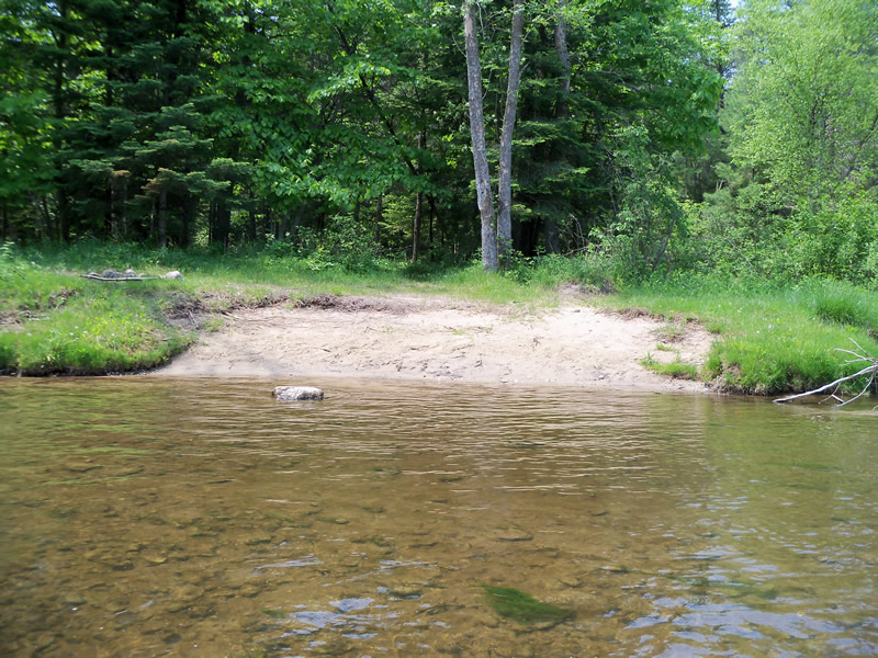
Stream Bank Erosion Site RIF_053B
Total Severity: Minor
Total Points: 26
Information collected by:
Rifle River Watershed,
Rifle River Main Branch
Mills Twp,
Ogemaw County
GPS Coordinates: 44.2196
, -84.06918
T21N
R3E
Bank Details
Which Bank? Right
Bank Aspect:E
Condition:Toe is stable; upper bank eroding
Erosion Trend:Increasing
Percent Veg. Cover: 0-10%
Bank Conditions
Stream Width:50 ft.
Stream Depth:1 ft.
Stream Current:Fast
Eroded Bank Length:20 ft.
Eroded Bank Height:4 ft.
Slope of Eroded Bank:2:1
Texture: Sand
Riverbed is large stone
Riverbed is large stone
Cause(s) of Erosion
-Foot traffic
Recommended Treatment(s)
-Bank revegetation
-Tree revetments
General Information
Other Location info:New location - looks like canoes stopping here Other Bank info:Canoe stop
Total Points
26
�