Stream Bank Erosion Site RIF_053D
Total Severity: Minor
Total Points: 26
Information collected by:
Rifle River Watershed,
Rifle River Main Branch
Mills Twp,
Ogemaw County
GPS Coordinates: 44.21667
, -84.07972
T21N
R3E
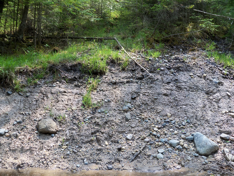
Bank Details
Which Bank? Left
Bank Aspect:W
Condition:Toe is stable; upper bank eroding
Erosion Trend:Increasing
Percent Veg. Cover: 0-10%
Bank Conditions
Stream Width:40 ft.
Stream Depth:3 ft.
Stream Current:Fast
Eroded Bank Length:12 ft.
Eroded Bank Height:6 ft.
Slope of Eroded Bank:1:1
Texture: Clay
Gravel
Gravel
Cause(s) of Erosion
-Gullying
Other causes: tree fell in the river
Recommended Treatment(s)
-Bank revegetation
-Tree revetments
General Information
Other Bank info:seeping bank and tree with rootwad falling in
Total Points
26
�