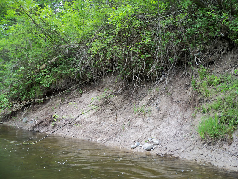
Stream Bank Erosion Site RIF_054
Total Severity: Minor
Total Points: 27
Information collected by:
Rifle River Watershed,
Rifle River Main Branch
Mills Twp,
Ogemaw County
GPS Coordinates: 44.21778
, -84.08778
T21N
R3E
Bank Details
Which Bank? Right
Bank Aspect:E
Condition:Toe and upper bank are eroding
Erosion Trend:Stable
Percent Veg. Cover: 11-50%
Bank Conditions
Stream Width:40 ft.
Stream Depth:3 ft.
Stream Current:Fast
Eroded Bank Length:30 ft.
Eroded Bank Height:8 ft.
Slope of Eroded Bank:1:1
Texture: Clay
Cause(s) of Erosion
-Bend in river
-Bank seepage
Recommended Treatment(s)
-Bank revegetation
-Cover structure
General Information
Other Bank info:some undercutting of trees on upper bank
Total Points
27
�