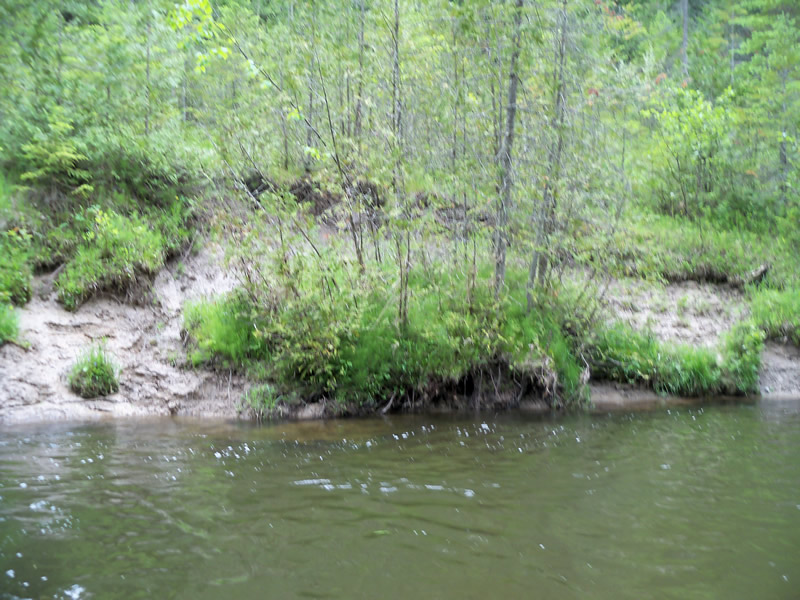
Stream Bank Erosion Site RIF_056A
Total Severity: Minor
Total Points: 23
Information collected by:
Rifle River Watershed,
Rifle River Main Branch
Mills Twp,
Ogemaw County
GPS Coordinates: 44.20028
, -84.08917
T21N
R3E
Bank Details
Which Bank? Right
Bank Aspect:E
Condition:Toe and upper bank are eroding
Erosion Trend:Stable
Percent Veg. Cover: 51-100%
Bank Conditions
Stream Width:25 ft.
Stream Depth:4 ft.
Stream Current:Fast
Eroded Bank Length:25 ft.
Eroded Bank Height:8 ft.
Slope of Eroded Bank:2:1
Texture: Clay
Cause(s) of Erosion
-Bend in river
-Bank seepage
Recommended Treatment(s)
-Bank revegetation
-Tree revetments
Other Treatments:very high water through this stretch
General Information
Total Points
23
�