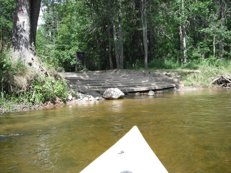
Stream Bank Erosion Site RIF_058
Total Severity: Undefined
Information collected by:
Rifle River Watershed,
Rifle River Main Branch
Mills Twp,
Ogemaw County
GPS Coordinates: 44.19956
, -84.00826
T21N
R3E
Bank Details
Bank Conditions
Cause(s) of Erosion
Recommended Treatment(s)
Other Treatments:Kenneth Road Access - fixed
General Information
Other Location info:Kenneth Road access site - fixed
�