Stream Bank Erosion Site RIF_070A
Total Severity: Moderate
Total Points: 31
Information collected by:
Rifle River Watershed,
Rifle River Main Branch
Mills Twp,
Ogemaw County
GPS Coordinates: 44.18459
, -84.08008
T21N
R3E
Sec 28
Owned by Private
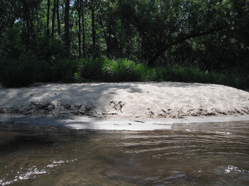
Bank Details
Which Bank? Left
Bank Aspect:W
Condition:Toe is stable; upper bank eroding
Erosion Trend:Increasing
Percent Veg. Cover: 0-10%
Bank Conditions
Stream Width:60 ft.
Stream Depth:1 ft.
Stream Current:Fast
Eroded Bank Length:50 ft.
Eroded Bank Height:15 ft.
Slope of Eroded Bank:4:1 or flatter
Texture: Sand
Cause(s) of Erosion
-Foot traffic
Recommended Treatment(s)
-Bank revegetation
-Constructed access
General Information
Other Bank info:Canoes are stopping and parking on bank
Total Points
31
�