Stream Bank Erosion Site RIF_074
Total Severity: Undefined
Information collected by:
Rifle River Watershed,
Rifle River Main Branch
Mills Twp,
Ogemaw County
GPS Coordinates: 44.18111
, -84.07526
T21N
R3E
Sec 28
Owned by Private
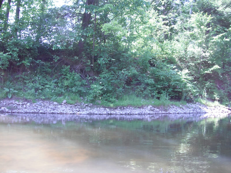
Bank Details
Bank Conditions
Cause(s) of Erosion
-Bend in river
Recommended Treatment(s)
-Bank revegetation
-Rock riprap
-Constructed access
Other Treatments:Has been fixed, rock riprap, was done before
General Information
�