Stream Bank Erosion Site RIF_077
Total Severity: Undefined
Information collected by:
Rifle River Watershed,
Rifle River Main Branch
Mills Twp,
Ogemaw County
GPS Coordinates: 44.17962
, -84.0737
T21N
R3E
Sec 28
Owned by Local Government
Bank Details
Bank Conditions
Cause(s) of Erosion
Recommended Treatment(s)
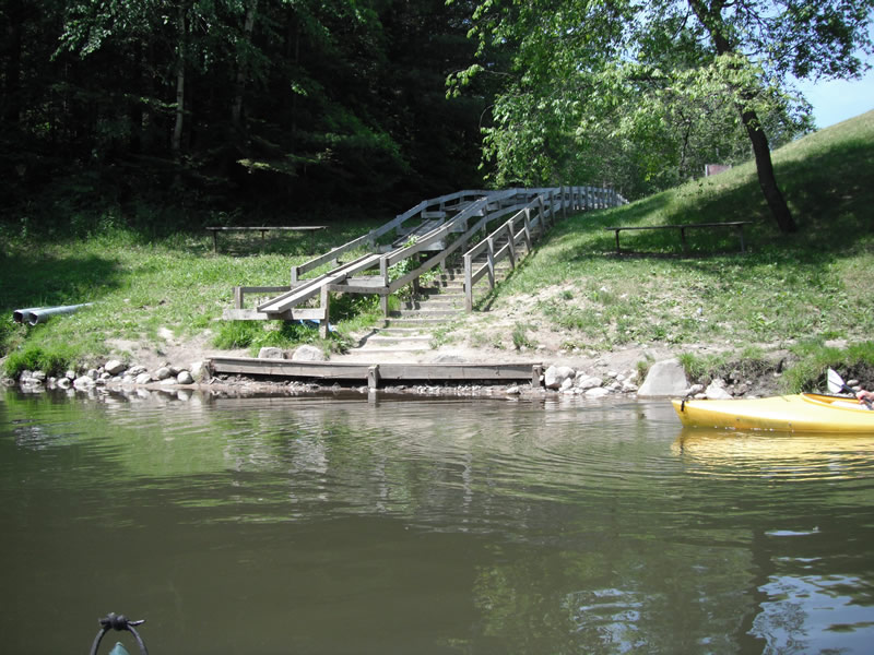
Other Treatments:Has been fixed by placing rocks and stairway
General Information
�