Stream Bank Erosion Site RIF_089
Total Severity: Minor
Total Points: 28
Information collected by:
Rifle River Watershed,
Rifle River Main Branch
Clayton Twp,
Arenac County
GPS Coordinates: 44.14196
, -84.04403
T20N
R4E
Sec 7
Owned by Private
Site Access:Accessible by road
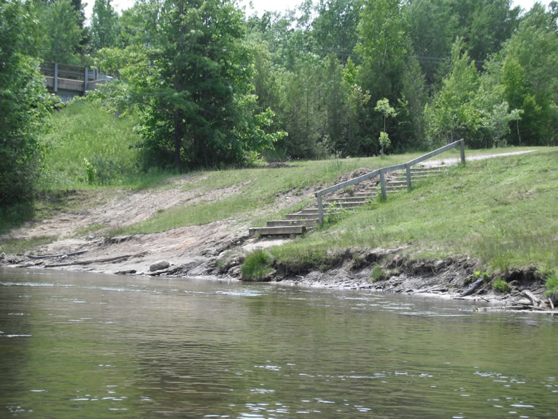
Bank Details
Which Bank? Right
Bank Aspect:E
Condition:Toe is stable; upper bank eroding
Erosion Trend:Increasing
Percent Veg. Cover: 51-100%
Bank Conditions
Stream Width:100 ft.
Stream Depth:1 ft.
Stream Current:Fast
Eroded Bank Length:300 ft.
Eroded Bank Height:10 ft.
Slope of Eroded Bank:4:1 or flatter
Texture: Sand over clay
Cause(s) of Erosion
-Foot traffic
Other causes: Access
Recommended Treatment(s)
-Bank revegetation
-Rock riprap
-Constructed access
General Information
Other Location info:White's and river view access sites
Total Points
28
�