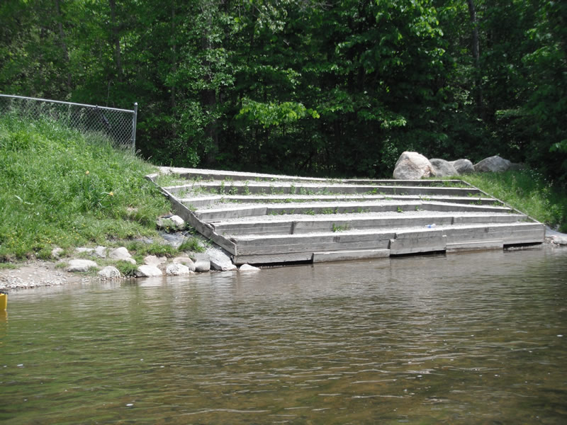
Stream Bank Erosion Site RIF_089A
Total Severity: Undefined
Information collected by:
Rifle River Watershed,
Rifle River Main Branch
Clayton Twp,
Arenac County
GPS Coordinates: 44.14046
, -84.04366
T20N
R4E
Sec 18
Owned by Private
Site Access:Accessible by road
Bank Details
Which Bank? Left
Bank Aspect:W
Bank Conditions
Cause(s) of Erosion
Recommended Treatment(s)
Other Treatments:Has been fixed by stairs and fencing
General Information
�