Stream Bank Erosion Site RIF_104
Total Severity: Undefined
Information collected by:
Rifle River Watershed,
Rifle River Main Branch
Moffatt Twp,
Arenac County
GPS Coordinates: 44.10232
, -84.05212
T20N
R3E
Sec 25
Owned by Private
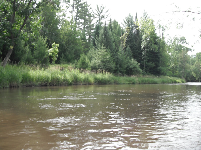
Bank Details
Bank Conditions
Cause(s) of Erosion
-Bend in river
-Foot traffic
Recommended Treatment(s)
Other Treatments:Fixed by tree revetments
General Information
�