Stream Bank Erosion Site RIF_106
Total Severity: Moderate
Total Points: 32
Information collected by:
Rifle River Watershed,
Rifle River Main Branch
Clayton Twp,
Arenac County
GPS Coordinates: 44.10034
, -84.04687
T20N
R4E
Sec 30
Owned by Private
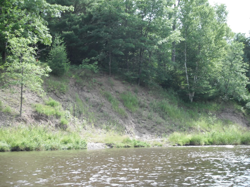
Bank Details
Which Bank? Left
Bank Aspect:W
Condition:Toe is stable; upper bank eroding
Erosion Trend:Decreasing (Annuals Growing)
Percent Veg. Cover: 51-100%
Bank Conditions
Stream Width:75 ft.
Stream Depth:2 ft.
Stream Current:Fast
Eroded Bank Length:200 ft.
Eroded Bank Height:20 ft.
Slope of Eroded Bank:1:1
Texture: Sand over clay
Cause(s) of Erosion
-Bend in river
-Foot traffic
Recommended Treatment(s)
-Bank revegetation
-Tree revetments
-Constructed access
General Information
Other Location info:Access at bottom end of site
Total Points
32
�