Stream Bank Erosion Site RIF_108
Total Severity: Undefined
Information collected by:
Rifle River Watershed,
Rifle River Main Branch
Clayton Twp,
Arenac County
GPS Coordinates: 44.09586
, -84.04231
T20N
R4E
Sec 31
Owned by Private
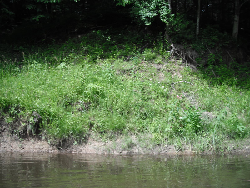
Bank Details
Which Bank? Right
Bank Aspect:E
Bank Conditions
Cause(s) of Erosion
-Bend in river
Recommended Treatment(s)
Other Treatments:Has fixed itself
General Information
�