Stream Bank Erosion Site RIF_113
Total Severity: Moderate
Total Points: 32
Information collected by:
Rifle River Watershed,
Rifle River Main Branch
Clayton Twp,
Arenac County
GPS Coordinates: 44.08615
, -84.04266
T20N
R4E
Sec 31
Owned by Private
Site Access:Accessible by road
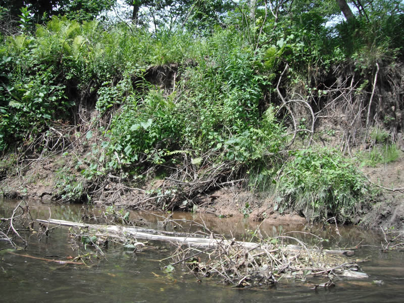
Bank Details
Which Bank? Right
Bank Aspect:E
Condition:Toe is stable; upper bank eroding
Erosion Trend:Increasing
Percent Veg. Cover: 11-50%
Bank Conditions
Stream Width:75 ft.
Stream Depth:3 ft.
Stream Current:Fast
Eroded Bank Length:250 ft.
Eroded Bank Height:8 ft.
Slope of Eroded Bank:1:1
Texture: Sand over clay
Cause(s) of Erosion
-Bend in river
Recommended Treatment(s)
-Tree revetments
General Information
Total Points
32
�