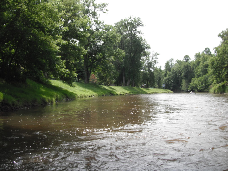
Stream Bank Erosion Site RIF_118
Total Severity: Undefined
Information collected by:
Rifle River Watershed,
Rifle River Main Branch
Deep River Twp,
Arenac County
GPS Coordinates: 44.08172
, -84.04006
T19N
R4E
Sec 6
Owned by Private
Bank Details
Bank Conditions
Cause(s) of Erosion
Recommended Treatment(s)
Other Treatments:Fixed by rock riprap and bank seeding
General Information
�