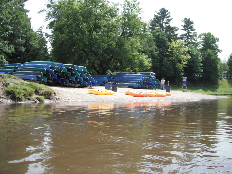
Stream Bank Erosion Site RIF_119
Total Severity: Minor
Total Points: 29
Information collected by:
Rifle River Watershed,
Rifle River Main Branch
Deep River Twp,
Arenac County
GPS Coordinates: 44.08037
, -84.03897
T19N
R4E
Sec 6
Owned by Private
Site Access:Accessible by road
Bank Details
Which Bank? Left
Bank Aspect:W
Condition:Toe is stable; upper bank eroding
Erosion Trend:Increasing
Percent Veg. Cover: 0-10%
Bank Conditions
Stream Width:75 ft.
Stream Depth:1 ft.
Stream Current:Fast
Eroded Bank Length:150 ft.
Eroded Bank Height:4 ft.
Slope of Eroded Bank:4:1 or flatter
Texture: Gravel
Cause(s) of Erosion
-Foot traffic
Recommended Treatment(s)
-Bank revegetation
-Constructed access
General Information
Other Bank info:Access site for riverview
Total Points
29
�