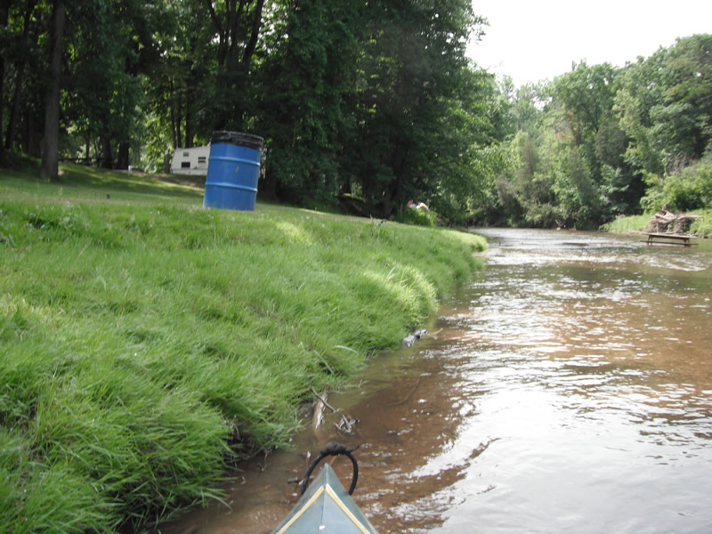
Stream Bank Erosion Site RIF_121
Total Severity: Undefined
Information collected by:
Rifle River Watershed,
Rifle River Main Branch
Deep River Twp,
Arenac County
GPS Coordinates: 44.07901
, -84.03951
T19N
R4E
Sec 6
Owned by Private
Bank Details
Bank Conditions
Cause(s) of Erosion
Recommended Treatment(s)
Other Treatments:Landing fixed and removed
General Information
�