Stream Bank Erosion Site RIF_145
Total Severity: Undefined
Information collected by:
Rifle River Watershed,
Rifle River Main Branch
Deep River Twp,
Arenac County
GPS Coordinates: 44.07682
, -83.98264
T19N
R4E
Sec 3
Owned by Private
Site Access:Accessible by road
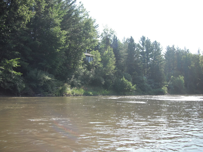
Bank Details
Which Bank? Left
Bank Aspect:S
Condition:Toe is stable; upper bank eroding
Erosion Trend:Decreasing (Annuals Growing)
Percent Veg. Cover: 51-100%
Bank Conditions
Cause(s) of Erosion
-Bend in river
Recommended Treatment(s)
Other Treatments:Fixed by tree revetments
General Information
�