Stream Bank Erosion Site RIF_150
Total Severity: Minor
Total Points: 29
Information collected by:
Rifle River Watershed,
Rifle River Main Branch
Deep River Twp,
Arenac County
GPS Coordinates: 44.07684
, -83.97825
T19N
R4E
Sec 3
Owned by State
Site Access:Accessible by road
Bank Details
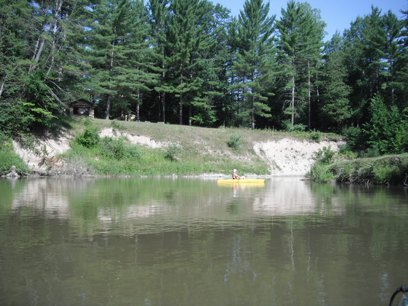
Which Bank? Left
Bank Aspect:S
Condition:Toe is stable; upper bank eroding
Erosion Trend:Decreasing (Annuals Growing)
Percent Veg. Cover: 51-100%
Bank Conditions
Stream Width:75 ft.
Stream Depth:2 ft.
Stream Current:Fast
Eroded Bank Length:150 ft.
Eroded Bank Height:25 ft.
Slope of Eroded Bank:1:1
Texture: Sand over clay
Cause(s) of Erosion
-Bend in river
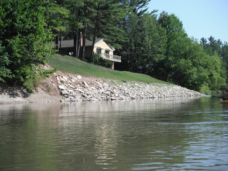
Recommended Treatment(s)
-Bank revegetation
-Rock riprap
-Tree revetments
General Information
Other Bank info:Downstream section has been repaired
Total Points
29
�