Stream Bank Erosion Site RIF_152
Total Severity: Minor
Total Points: 22
Information collected by:
Rifle River Watershed,
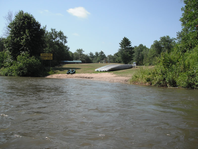
Rifle River Main Branch
Deep River Twp,
Arenac County
GPS Coordinates: 44.07934
, -83.96399
T19N
R4E
Sec 2
Owned by Private
Site Access:Accessible by road
Bank Details
Which Bank? Right
Bank Aspect:N
Condition:Toe is stable; upper bank eroding
Erosion Trend:Stable
Percent Veg. Cover: 51-100%
Bank Conditions
Stream Width:100 ft.
Stream Depth:1 ft.
Stream Current:Fast
Eroded Bank Length:50 ft.
Eroded Bank Height:6 ft.
Slope of Eroded Bank:4:1 or flatter
Texture: Sand
Cause(s) of Erosion
-Foot traffic
Other causes: Access site
Recommended Treatment(s)
-Rock riprap
-Constructed access
General Information
Total Points
22
�