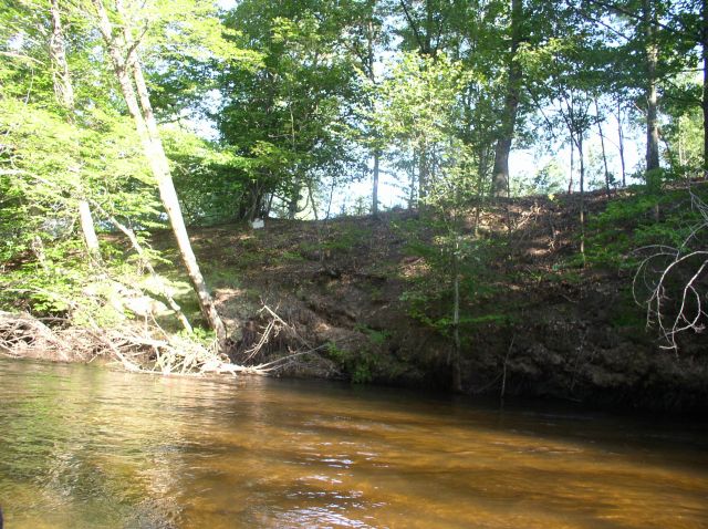
Stream Bank Erosion Site BSR-41
Total Severity: Moderate
Total Points: 35
Information collected by:
Big Sable River Watershed,
Freesoil Twp,
Mason County
GPS Coordinates: 44.12019
, -86.22668
T20N
R16W
Sec 21
Owned by Private
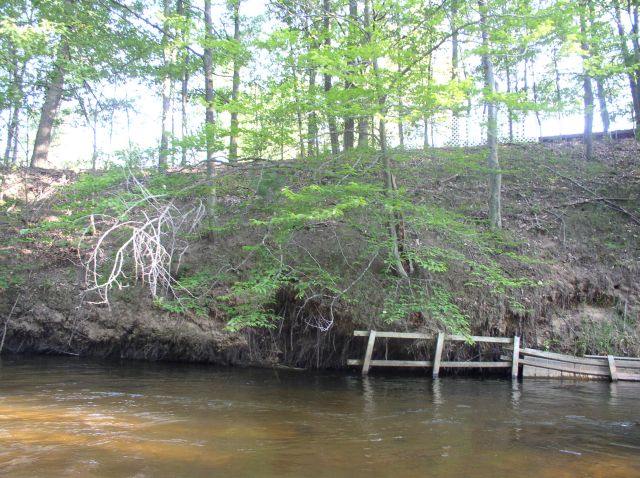
Bank Details
Which Bank? Right
Bank Aspect:S
Condition:Both toe and upper bank eroding
Erosion Trend:Increasing
Percent Veg. Cover: 10-50%
Bank Conditions
Stream Width:30 ft.
Stream Depth:2 ft.
Stream Current:Slow
Eroded Bank Length:120 ft.
Eroded Bank Height:40 ft.
Slope of Eroded Bank:3:1
Texture: Sand
Cause(s) of Erosion
-Bend in river
-Foot traffic
Recommended Treatment(s)
-Bank revegetation
-Rock riprap
-Tree revetments
-Constructed access
Other Treatments:Remove old efforts and replace
General Information
Previous stabilization efforts
Total Points
35
�