Stream Bank Erosion Site RIF_189
Total Severity: Minor
Total Points: 28
Information collected by:
Rifle River Watershed,
Rifle River Main Branch
Arenac Twp,
Arenac County
GPS Coordinates: 44.07121
, -83.89489
T19N
R5E
Sec 5
Owned by State
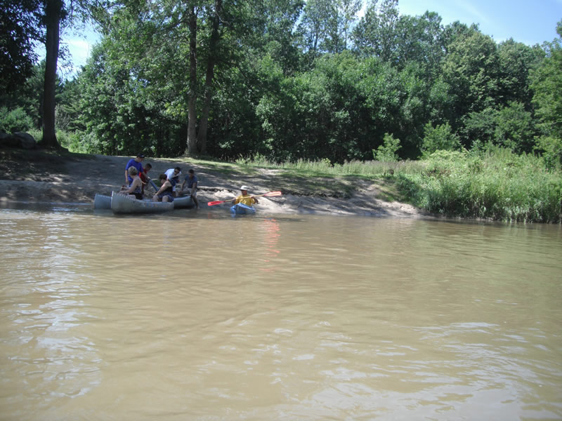
Site Access:Accessible by road
Bank Details
Which Bank? Right
Bank Aspect:NE
Condition:Toe is stable; upper bank eroding
Erosion Trend:Stable
Percent Veg. Cover: 51-100%
Bank Conditions
Stream Width:100 ft.
Stream Depth:2 ft.
Stream Current:Fast
Eroded Bank Length:300 ft.
Eroded Bank Height:8 ft.
Slope of Eroded Bank:2:1
Texture: Sand over clay
Cause(s) of Erosion
-Bend in river
-Gullying
-Foot traffic
Recommended Treatment(s)
-Bank revegetation
-Tree revetments
-Constructed access
General Information
Other Location info:DNR access between Grove St., Bishop and Omer
Total Points
28
�