Stream Bank Erosion Site RIF_212
Total Severity: Undefined
Information collected by:
Rifle River Watershed,
Rifle River Main Branch
Arenac Twp,
Arenac County
GPS Coordinates: 44.05655
, -83.87225
T19N
R5E
Sec 9
Owned by Private
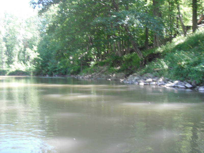
Bank Details
Which Bank? Right
Bank Conditions
Cause(s) of Erosion
Recommended Treatment(s)
-Bank revegetation
-Tree revetments
-Constructed access
Other Treatments:Riprap fixed site
General Information
�