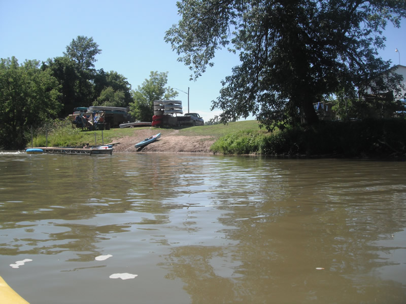
Stream Bank Erosion Site RIF_223
Total Severity: Moderate
Total Points: 30
Information collected by:
Rifle River Watershed,
Rifle River Main Branch
Arenac Twp,
Arenac County
GPS Coordinates: 44.05005
, -83.85512
T19N
R5E
Sec 15
Owned by Private
Site Access:Accessible by road
Bank Details
Which Bank? Right
Bank Aspect:NW
Condition:Toe is stable; upper bank eroding
Erosion Trend:Increasing
Percent Veg. Cover: 51-100%
Bank Conditions
Stream Width:100 ft.
Stream Depth:2 ft.
Stream Current:Fast
Eroded Bank Length:75 ft.
Eroded Bank Height:15 ft.
Slope of Eroded Bank:4:1 or flatter
Texture: Sand over clay
Cause(s) of Erosion
-Foot traffic
Recommended Treatment(s)
-Bank revegetation
-Constructed access
General Information
Other Location info:Access for Russel's at Omer
Total Points
30
�