Stream Bank Erosion Site RIF_226A
Total Severity: Moderate
Total Points: 31
Information collected by:
Rifle River Watershed,
Rifle River Main Branch
Arenac Twp,
Arenac County
GPS Coordinates: 44.04443
, -83.85493
T19N
R5E
Sec 15
Owned by Private
Site Access:Accessible by road
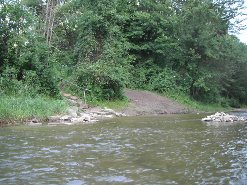
Bank Details
Which Bank? Right
Bank Aspect:E
Condition:Toe is stable; upper bank eroding
Erosion Trend:Increasing
Percent Veg. Cover: 0-10%
Bank Conditions
Stream Width:40 ft.
Stream Depth:1 ft.
Stream Current:Fast
Eroded Bank Length:20 ft.
Eroded Bank Height:20 ft.
Slope of Eroded Bank:2:1
Texture: Sand
Cause(s) of Erosion
-Foot traffic
Recommended Treatment(s)
-Bank revegetation
-Constructed access
Other Treatments:One area, the erosion has been treated with limestone riprap
General Information
Other Location info:WP 298, purple loosestrife 100' downstream
Total Points
31
�