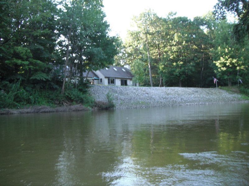
Stream Bank Erosion Site RIF_230
Total Severity: Undefined
Information collected by:
Rifle River Watershed,
Rifle River Main Branch
Arenac Twp,
Arenac County
GPS Coordinates: 44.03934
, -83.85254
T19N
R5E
Sec 22
Owned by Private
Bank Details
Bank Conditions
Cause(s) of Erosion
Recommended Treatment(s)
Other Treatments:Site had been fixed with riprap and tree revetments
General Information
Other Location info:WP 302
�