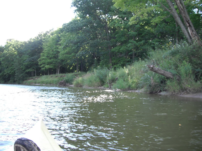
Stream Bank Erosion Site RIF_237
Total Severity: Undefined
Information collected by:
Rifle River Watershed,
Rifle River Main Branch
Arenac Twp,
Arenac County
GPS Coordinates: 44.0284
, -83.83969
T19N
R5E
Sec 23
Owned by Private
Bank Details
Which Bank? Right
Bank Aspect:E
Bank Conditions
Cause(s) of Erosion
Recommended Treatment(s)
Other Treatments:Bank almost 100% covered in vegetation
General Information
Other Location info: WP 314, purple loosestrife on uppermost end of site
�