Stream Bank Erosion Site RIF_242
Total Severity: Minor
Total Points: 28
Information collected by:
Rifle River Watershed,
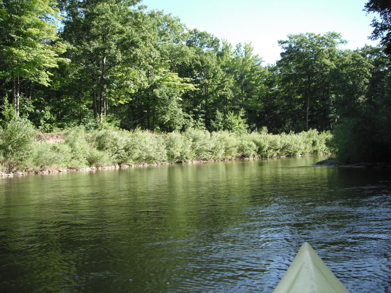
Rifle River Main Branch
Arenac Twp,
Arenac County
GPS Coordinates: 44.02738
, -83.83144
T19N
R5E
Sec 23
Owned by Private
Site Access:Accessible by road
Bank Details
Which Bank? Left
Bank Aspect:E
Condition:Toe is stable; upper bank eroding
Erosion Trend:Decreasing (Annuals Growing)
Percent Veg. Cover: 51-100%
Bank Conditions
Stream Width:60 ft.
Stream Depth:4 ft.
Stream Current:Fast
Eroded Bank Length:75 ft.
Eroded Bank Height:12 ft.
Slope of Eroded Bank:1:1
Texture: Sand over clay
Cause(s) of Erosion
-Bend in river
Recommended Treatment(s)
-Cover structure
-Tree revetments
Other Treatments:Riprap laced, almost 100% fixed, very small portion of original site still showing erosion and sediment making it to the river
General Information
Other Location info:WP 319
Total Points
28
�