Stream Bank Erosion Site RIF_244
Total Severity: Minor
Total Points: 18
Information collected by:
Rifle River Watershed,
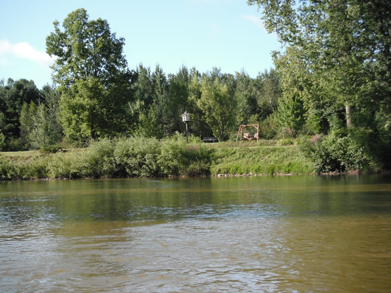
Rifle River Main Branch
Arenac Twp,
Arenac County
GPS Coordinates: 44.0239
, -83.83047
T19N
R5E
Sec 26
Owned by Private
Site Access:Accessible by road
Bank Details
Which Bank? Right
Bank Aspect:NE
Condition:Toe is stable; upper bank eroding
Erosion Trend:Decreasing (Annuals Growing)
Percent Veg. Cover: 51-100%
Bank Conditions
Stream Width:60 ft.
Stream Depth:2 ft.
Stream Current:Slow
Eroded Bank Length:20 ft.
Eroded Bank Height:12 ft.
Slope of Eroded Bank:2:1
Texture: Clay
Cause(s) of Erosion
-Bend in river
Recommended Treatment(s)
-Tree revetments
Other Treatments:Some rock riprap has been placed-very little erosion occurring
General Information
Other Location info:WP 322
Total Points
18
�