Stream Bank Erosion Site RIF_246
Total Severity: Undefined
Information collected by:
Rifle River Watershed,
Rifle River Main Branch
Arenac Twp,
Arenac County
GPS Coordinates: 44.02465
, -83.82733
T19N
R5E
Sec 26
Owned by Private
Site Access:Accessible by road
Bank Details
Which Bank? Right
Bank Aspect:NW
Bank Conditions
Cause(s) of Erosion
Recommended Treatment(s)
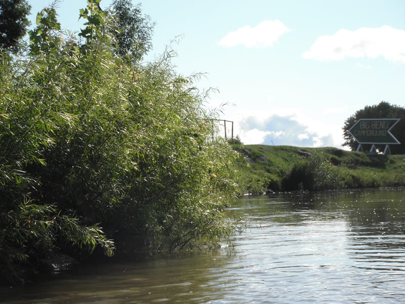
Other Treatments:Site 100% vegetated, some riprap put in, not a problem
General Information
Other Location info:WP 324, Big Bend Campground
�