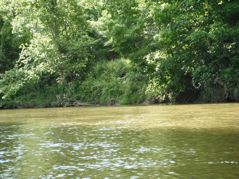
Stream Bank Erosion Site RIF_247
Total Severity: Undefined
Information collected by:
Rifle River Watershed,
Rifle River Main Branch
Arenac Twp,
Arenac County
GPS Coordinates: 44.02394
, -83.8252
T19N
R5E
Sec 25
Owned by Private
Site Access:Accessible by road
Bank Details
Which Bank? Right
Bank Aspect:NE
Bank Conditions
Cause(s) of Erosion
Recommended Treatment(s)
-Tree revetments
Other Treatments:100% revegetated and has naturally healed
General Information
Other Location info:WP 325
�