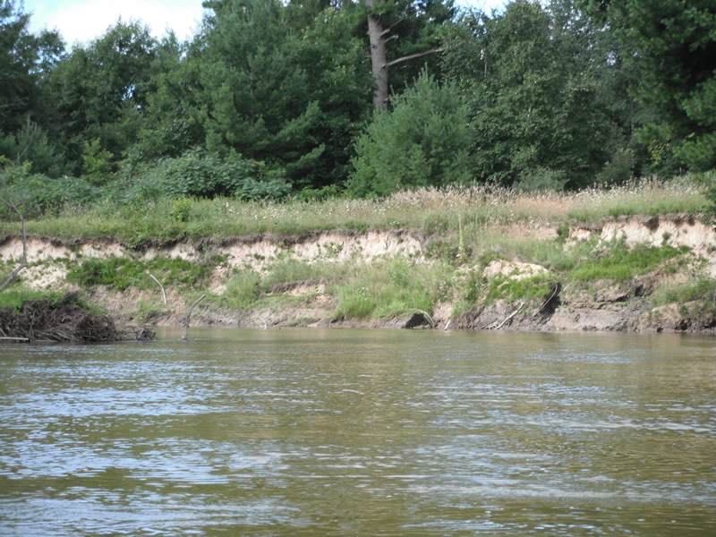
Stream Bank Erosion Site RIF_251
Total Severity: Minor
Total Points: 29
Information collected by:
Rifle River Watershed,
Rifle River Main Branch
Arenac Twp,
Arenac County
GPS Coordinates: 44.01965
, -83.82574
T19N
R5E
Sec 25
Owned by Private
Bank Details
Which Bank? Right
Bank Aspect:E
Condition:Toe is stable; upper bank eroding
Erosion Trend:Decreasing (Annuals Growing)
Percent Veg. Cover: 11-50%
Bank Conditions
Stream Width:50 ft.
Stream Depth:3 ft.
Stream Current:Slow
Eroded Bank Length:250 ft.
Eroded Bank Height:12 ft.
Slope of Eroded Bank:1:1
Texture: Sand over clay
Cause(s) of Erosion
-Bend in river
Recommended Treatment(s)
-Cover structure
-Tree revetments
General Information
Other Location info:WP 330, purple loosestrife seen across the river on opposite bank (left), also one plant downstream 75 ft
Total Points
29
�