Stream Bank Erosion Site RIF_252
Total Severity: Minor
Total Points: 25
Information collected by:
Rifle River Watershed,
Rifle River Main Branch
Arenac Twp,
Arenac County
GPS Coordinates: 44.01822
, -83.82393
T19N
R5E
Sec 25
Owned by Private
Site Access:Accessible by road
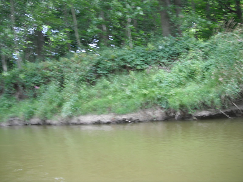
Bank Details
Which Bank? Left
Bank Aspect:W
Condition:Toe is undercutting
Erosion Trend:Stable
Percent Veg. Cover: 51-100%
Bank Conditions
Stream Width:60 ft.
Stream Depth:2 ft.
Stream Current:Slow
Eroded Bank Length:200 ft.
Eroded Bank Height:8 ft.
Slope of Eroded Bank:1:1
Texture: Sand
Cause(s) of Erosion
-Bend in river
Recommended Treatment(s)
-Tree revetments
Other Treatments:Some riprap has been placed here
General Information
Other Location info:WP 331, purple loosestrife on the site and on opposite bank
Total Points
25
�