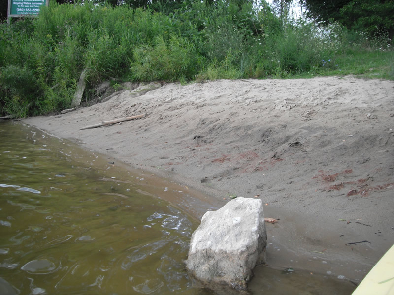
Stream Bank Erosion Site RIF_253
Total Severity: Minor
Total Points: 19
Information collected by:
Rifle River Watershed,
Rifle River Main Branch
Arenac Twp,
Arenac County
GPS Coordinates: 44.01513
, -83.8239
T19N
R5E
Sec 25
Owned by Private
Site Access:Accessible by road
Bank Details
Which Bank? Right
Bank Aspect:E
Condition:Toe is stable; upper bank eroding
Erosion Trend:Stable
Percent Veg. Cover: 11-50%
Bank Conditions
Stream Width:40 ft.
Stream Depth:1 ft.
Stream Current:Fast
Eroded Bank Length:15 ft.
Eroded Bank Height:3 ft.
Slope of Eroded Bank:4:1 or flatter
Texture: Sand
Cause(s) of Erosion
-Foot traffic
Recommended Treatment(s)
-Constructed access
General Information
Other Location info:WP 332, Rippling Waters Campground access site, purple loosestrife at site
Total Points
19
�