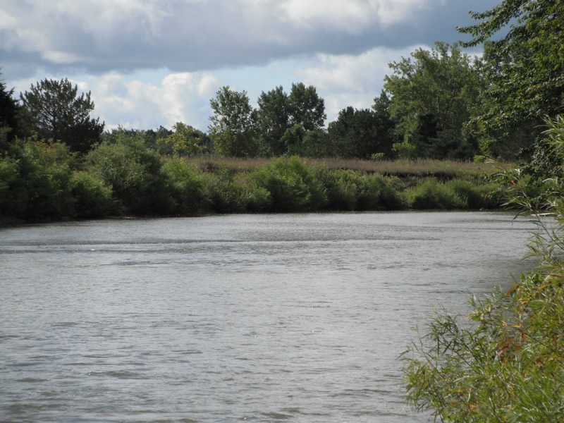
Stream Bank Erosion Site RIF_254
Total Severity: Undefined
Information collected by:
Rifle River Watershed,
Rifle River Main Branch
Arenac Twp,
Arenac County
GPS Coordinates: 44.01329
, -83.8238
T19N
R5E
Sec 25
Owned by Private
Site Access:Accessible by road
Bank Details
Which Bank? Left
Bank Aspect:W
Bank Conditions
Cause(s) of Erosion
-Bend in river
Recommended Treatment(s)
Other Treatments:very vegetated-no real erosion occurring
General Information
Other Location info:WP 333
�