Stream Bank Erosion Site RIF_WB01
Total Severity: Minor
Total Points: 27
Information collected by:
Rifle River Watershed,
Rifle River West Branch
West Branch Twp,
Ogemaw County
GPS Coordinates: 44.27612
, -84.20747
T22N
R2E
Sec 29
Owned by Private
Site Access:Accessible by road
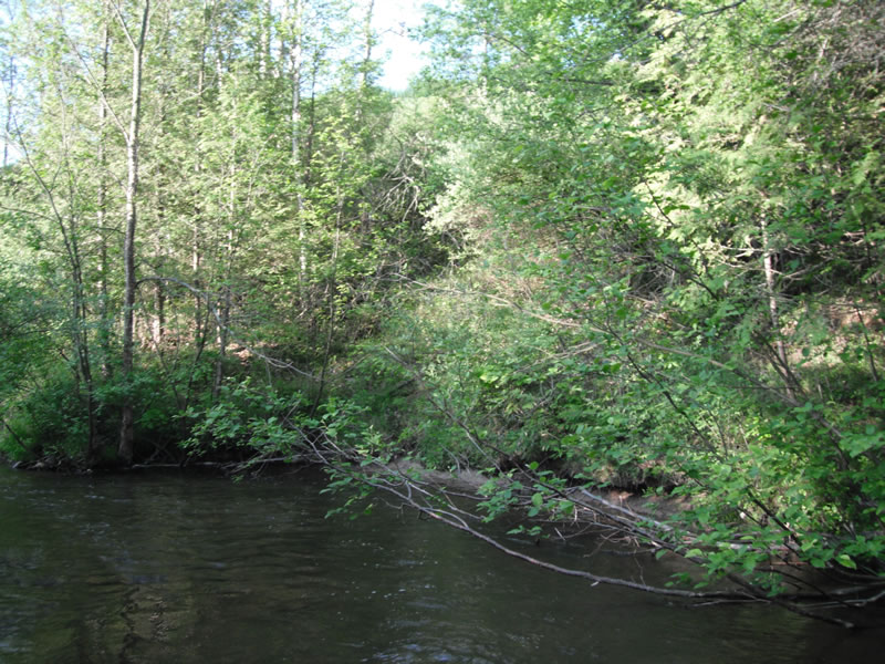
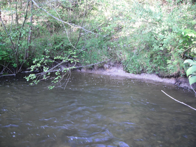
Bank Details
Which Bank? Right
Bank Aspect:E
Condition:Toe is undercutting
Erosion Trend:Decreasing (Annuals Growing)
Percent Veg. Cover: 51-100%
Bank Conditions
Stream Width:15 ft.
Stream Depth:2 ft.
Stream Current:Fast
Eroded Bank Length:50 ft.
Eroded Bank Height:20 ft.
Slope of Eroded Bank:1:1
Texture: Sand over clay
Cause(s) of Erosion
-Bend in river
Recommended Treatment(s)
-Bank revegetation
-Tree revetments
General Information
Other Location info:Flag pole on top of bank
Total Points
27
�