Stream Bank Erosion Site RIF_WB13A
Total Severity: Minor
Total Points: 25
Information collected by:
Rifle River Watershed,
Rifle River West Branch
West Branch Twp,
Ogemaw County
GPS Coordinates: 44.25573
, -84.20203
T22N
R2E
Sec 33
Owned by Private
Site Access:Accessible by road
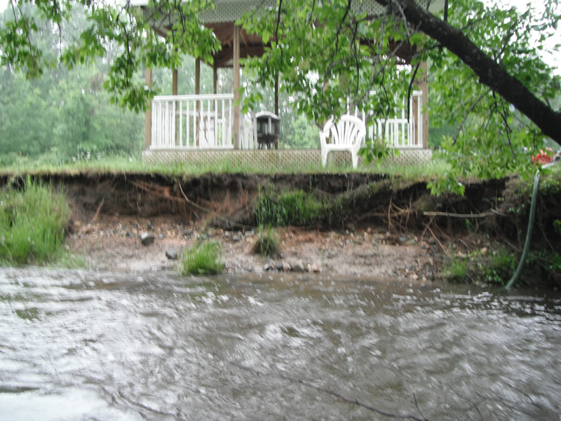
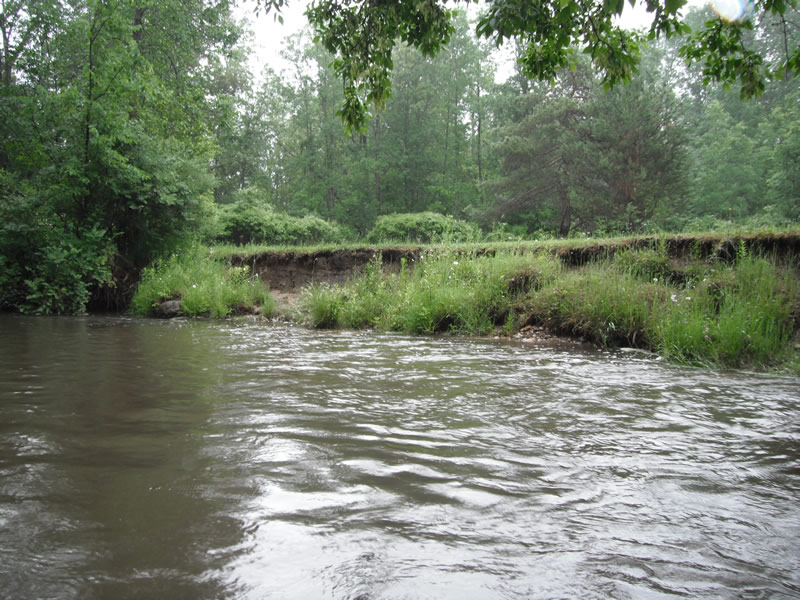
Bank Details
Which Bank? Right
Bank Aspect:NW
Condition:Toe is stable; upper bank eroding
Erosion Trend:Increasing
Percent Veg. Cover: 51-100%
Bank Conditions
Stream Width:20 ft.
Stream Depth:1 ft.
Stream Current:Fast
Eroded Bank Length:60 ft.
Eroded Bank Height:3.5 ft.
Slope of Eroded Bank:1:1
Texture: Stratified
Cause(s) of Erosion
-Bend in river
Other causes: Erosion from high water
Recommended Treatment(s)
-Bank revegetation
-Tree revetments
General Information
Total Points
25
�