Stream Bank Erosion Site RIF_WB14
Total Severity: Minor
Total Points: 25
Information collected by:
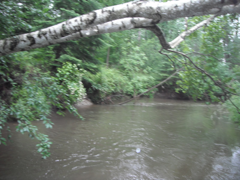
Rifle River Watershed,
Rifle River West Branch
West Branch Twp,
Ogemaw County
GPS Coordinates: 44.25579
, -84.201
T22N
R2E
Sec 33
Owned by Private
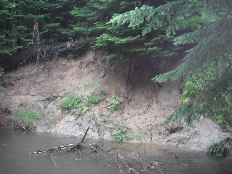
Bank Details
Which Bank? Left
Bank Aspect:SW
Condition:Toe is stable; upper bank eroding
Erosion Trend:Stable
Percent Veg. Cover: 51-100%
Bank Conditions
Stream Width:15 ft.
Stream Depth:2 ft.
Stream Current:Fast
Eroded Bank Length:175 ft.
Eroded Bank Height:10 ft.
Slope of Eroded Bank:1:1
Texture: Sand over clay
Cause(s) of Erosion
-Bend in river
-Bank seepage
Recommended Treatment(s)
-Bank revegetation
-Tree revetments
General Information
Total Points
25
�