Stream Bank Erosion Site RIF_WB25
Total Severity: Undefined
Information collected by:
Rifle River Watershed,
Rifle River West Branch
West Branch Twp,
Ogemaw County
GPS Coordinates: 44.25389
, -84.18455
T22N
R2E
Sec 33
Owned by Private
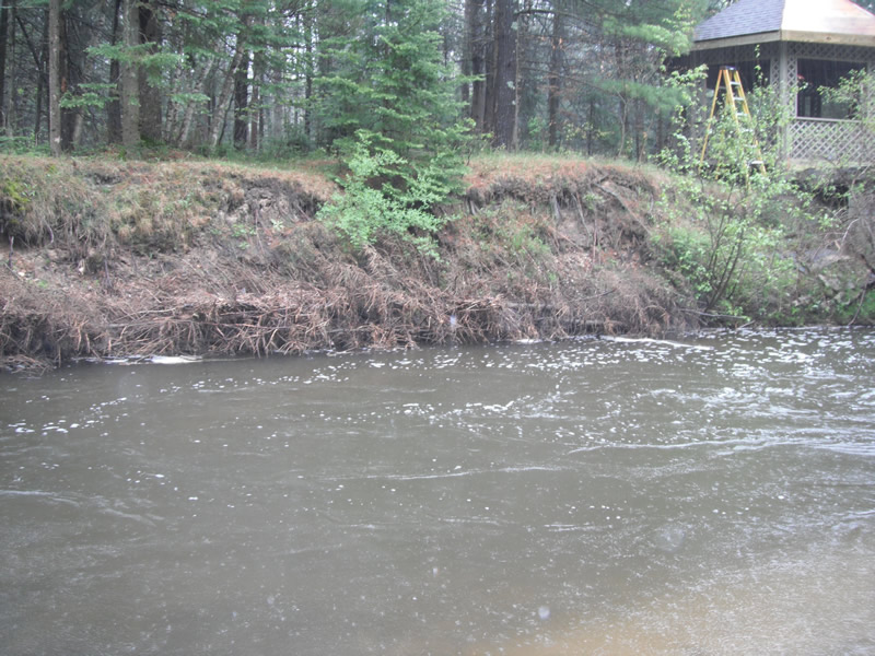
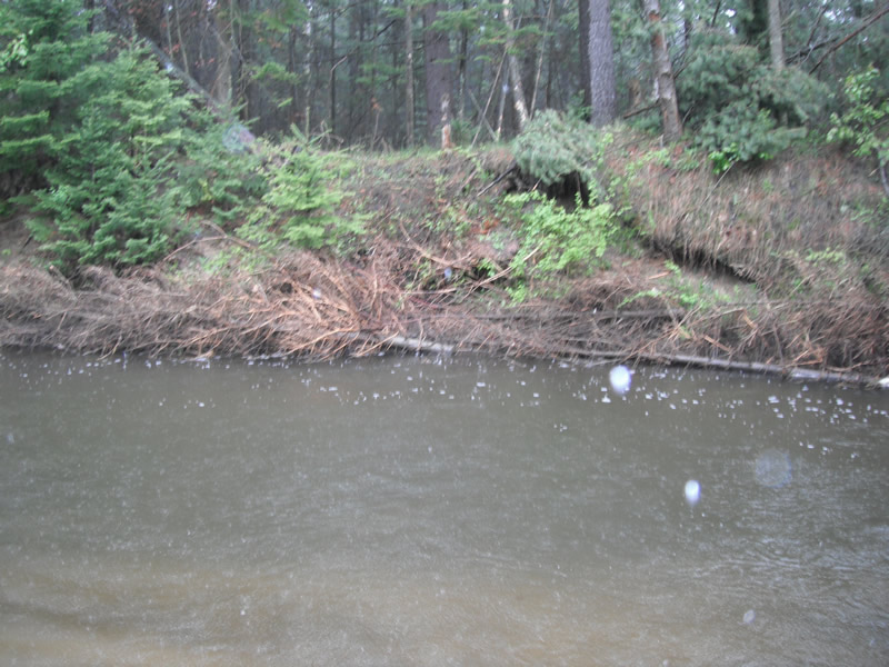
Bank Details
Bank Conditions
Cause(s) of Erosion
-Bend in river
Recommended Treatment(s)
Other Treatments:Problem has been fixed by placing tree revetment
General Information
Other Location info:Just past bridge at McLaren's house
�