Stream Bank Erosion Site RIF_WB25A
Total Severity: Undefined
Information collected by:
Rifle River Watershed,
Rifle River West Branch
West Branch Twp,
Ogemaw County
GPS Coordinates: 44.25414
, -84.18519
T22N
R2E
Sec 33
Owned by Private
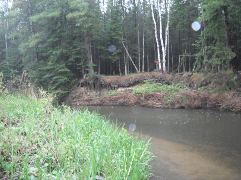
Bank Details
Which Bank? Left
Bank Aspect:W
Condition:Toe is undercutting
Erosion Trend:Stable
Percent Veg. Cover: 51-100%
Bank Conditions
Stream Width:25 ft.
Stream Depth:2 ft.
Stream Current:Fast
Eroded Bank Length:105 ft.
Eroded Bank Height:6 ft.
Slope of Eroded Bank:2:1
Texture: Sand over clay
Cause(s) of Erosion
-Bend in river
Recommended Treatment(s)
Other Treatments:No treatment needed, tree revetment placed in river
General Information
Other Location info:New location Other Bank info:Feeder creek enters river
�