Stream Bank Erosion Site RIF_WB30
Total Severity: Moderate
Total Points: 32
Information collected by:
Rifle River Watershed,
Rifle River West Branch
West Branch Twp,
Ogemaw County
GPS Coordinates: 44.25282
, -84.18028
T22N
R2E
Sec 34
Owned by Private
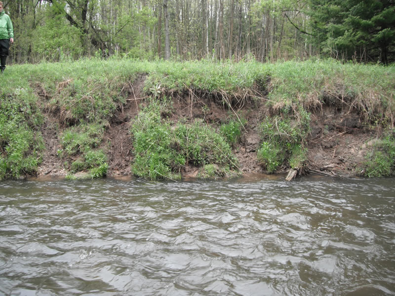
Bank Details
Which Bank? Left
Bank Aspect:W
Condition:Both toe and upper bank eroding
Erosion Trend:Increasing
Percent Veg. Cover: 51-100%
Bank Conditions
Stream Width:30 ft.
Stream Depth:2 ft.
Stream Current:Fast
Eroded Bank Length:200 ft.
Eroded Bank Height:7 ft.
Slope of Eroded Bank:1:1
Texture: Stratified
Gravel
clay
black dirt
Gravel
clay
black dirt
Cause(s) of Erosion
-Obstructions in river
-Bend in river
Recommended Treatment(s)
-Tree revetments
General Information
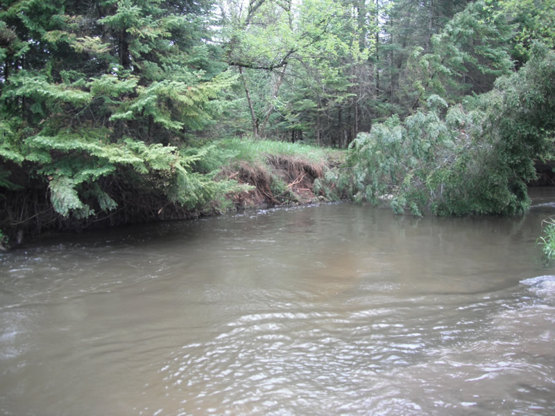
Other Bank info:Tree falling into river, site length increasing
Total Points
32
�