Stream Bank Erosion Site RIF_WB33
Total Severity: Undefined
Information collected by:
Rifle River Watershed,
Rifle River West Branch
West Branch Twp,
Ogemaw County
GPS Coordinates: 44.25119
, -84.1725
T22N
R2E
Sec 34
Owned by Private
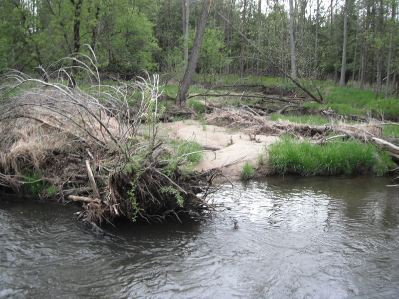
Bank Details
Bank Conditions
Cause(s) of Erosion
Recommended Treatment(s)
-Cover structure
-Tree revetments
Other Treatments:Trees have fallen in naturally and stopped erosion; no treatment needed
General Information
�