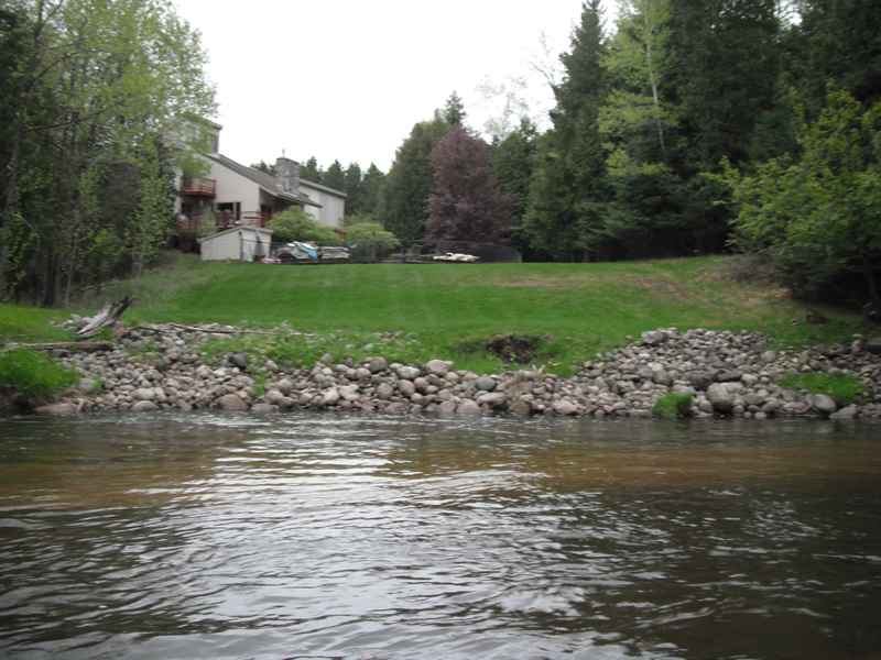
Stream Bank Erosion Site RIF_WB34
Total Severity: Undefined
Information collected by:
Rifle River Watershed,
Rifle River West Branch
West Branch Twp,
Ogemaw County
GPS Coordinates: 44.25138
, -84.17191
T22N
R2E
Sec 34
Owned by Private
Bank Details
Bank Conditions
Cause(s) of Erosion
Recommended Treatment(s)
Other Treatments:Property owner has placed rock riprap on site, no treatment needed
General Information
�