Stream Bank Erosion Site RIF_WB57
Total Severity: Undefined
Information collected by:
Rifle River Watershed,
Rifle River West Branch
Horton Twp,
Ogemaw County
GPS Coordinates: 44.24533
, -84.15334
T21N
R2E
Sec 2
Owned by Private
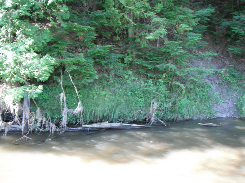
Bank Details
Which Bank? Right
Bank Conditions
Cause(s) of Erosion
Recommended Treatment(s)
Other Treatments:Tree fell in river and fixed it
General Information
�