Stream Bank Erosion Site RIF_WB79
Total Severity: Undefined
Information collected by:
Rifle River Watershed,
Rifle River West Branch
Churchill Twp,
Ogemaw County
GPS Coordinates: 44.2611
, -84.11163
T22N
R3E
Sec 31
Owned by Private
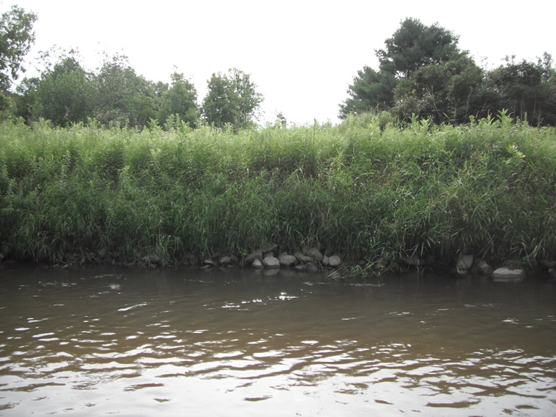
Bank Details
Which Bank? Right
Bank Aspect:NE
Bank Conditions
Cause(s) of Erosion
Recommended Treatment(s)
Other Treatments:Fixed with riprap-good vegetation-100%
General Information
�