Stream Bank Erosion Site RIF_WB82
Total Severity: Moderate
Total Points: 32
Information collected by:
Rifle River Watershed,
Rifle River West Branch
Churchill Twp,
Ogemaw County
GPS Coordinates: 44.26196
, -84.10649
T22N
R3E
Sec 31
Owned by Private
Site Access:Accessible by road
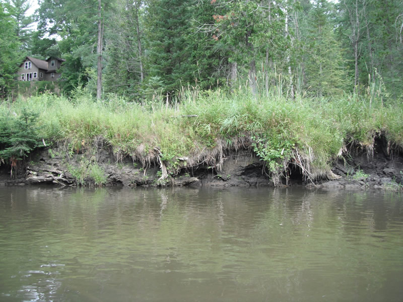
Bank Details
Which Bank? Left
Bank Aspect:SW
Condition:Both toe and upper bank eroding
Erosion Trend:Increasing
Percent Veg. Cover: 11-50%
Bank Conditions
Stream Width:25 ft.
Stream Depth:4 ft.
Stream Current:Slow
Eroded Bank Length:25 ft.
Eroded Bank Height:8 ft.
Slope of Eroded Bank:1:1
Texture: Sand
Cause(s) of Erosion
-Bend in river
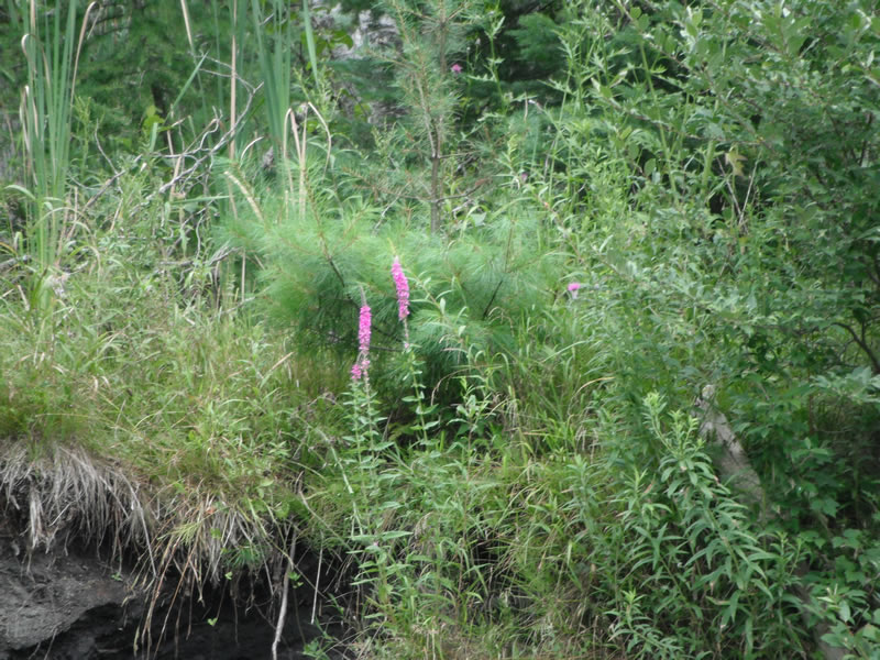
Recommended Treatment(s)
-Bank revegetation
-Cover structure
-Tree revetments
Other Treatments:Good potential project site
General Information
Other Location info:Purple loosestrife, good potential project site
Total Points
32
�