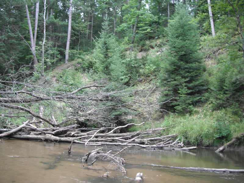
Stream Bank Erosion Site RIF_WB93
Total Severity: Moderate
Total Points: 30
Information collected by:
Rifle River Watershed,
Rifle River West Branch
Churchill Twp,
Ogemaw County
GPS Coordinates: 44.24878
, -84.08374
T22N
R3E
Sec 33
Owned by Private
Bank Details
Which Bank? Right
Bank Aspect:NE
Condition:Toe is stable; upper bank eroding
Erosion Trend:Decreasing (Annuals Growing)
Percent Veg. Cover: 51-100%
Bank Conditions
Stream Width:15 ft.
Stream Depth:3 ft.
Stream Current:Slow
Eroded Bank Length:75 ft.
Eroded Bank Height:35 ft.
Slope of Eroded Bank:1:1
Texture: Sand over clay
Cause(s) of Erosion
-Obstructions in river
-Bend in river
Recommended Treatment(s)
-Bank revegetation
-Tree revetments
General Information
Other Location info:WB 92 was missed, could be totally healed or river changed path
Total Points
30
�